
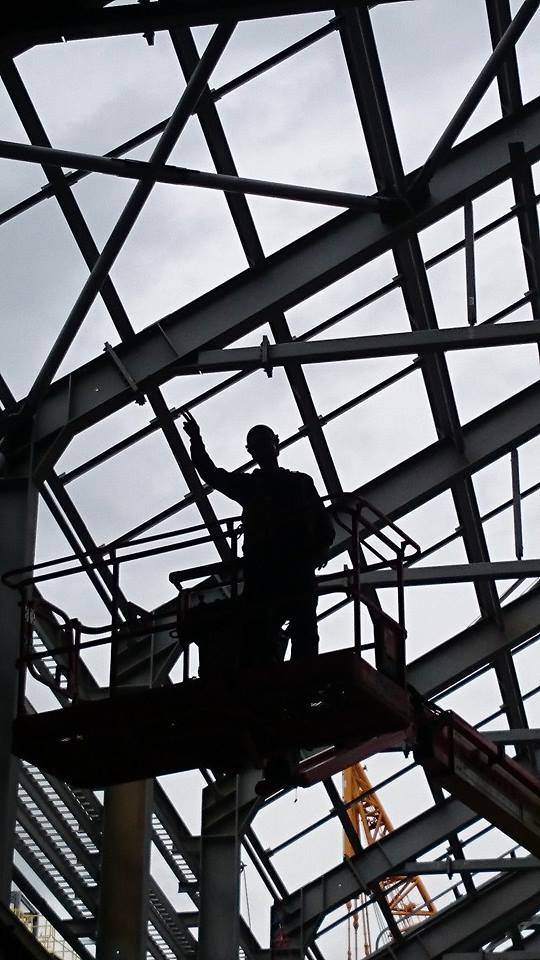
Baxendale project
PROVIDing CLIENTS WITH COST-EFFECTIVE HIGH-QUALITY IMAGERY, SPATIAL DATA AND SURVEY SOLUTIONS THROUGH THE USE OF TRADITIONAL SURVEY METHODS AND DRONE TECHNOLOGY.
Baxendale Project Services (BPS) is a Survey and Mapping business based in Whitehorse, Yukon.
By utilizing high precision GPS systems, high precision total stations, scanning, drone platforms, photogrammetry software and GPS ground control targets, we aim to reduce field time and allow the client to acquire and visualize spatial data quickly and efficiently. BPS utilizes up-to-date survey solutions for accuracy and cost efficiency.
BPS is a safety-focused company that follows OH&S and COR principles to ensure all data is acquired safely and efficiently.
Whitehorse office
62 Grizzly Circle
Whitehorse, Y.T.
Y1A 6J3


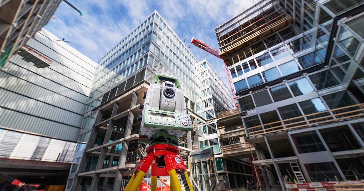
GEOMATICS Services
John Christian Baxendale of BPS has 23 years experience in both public and private construction environments, BPS has experience working on many large-scale developments and projects in the mining, land development and industrial sectors.
Topographic Surveys
Quantity Surveys/Volumes
Monitoring Systems
Construction Layout
Road Staking
As-built Surveys
Industrial/Machine Layout
Quality Assurance Reporting
Progress Reporting
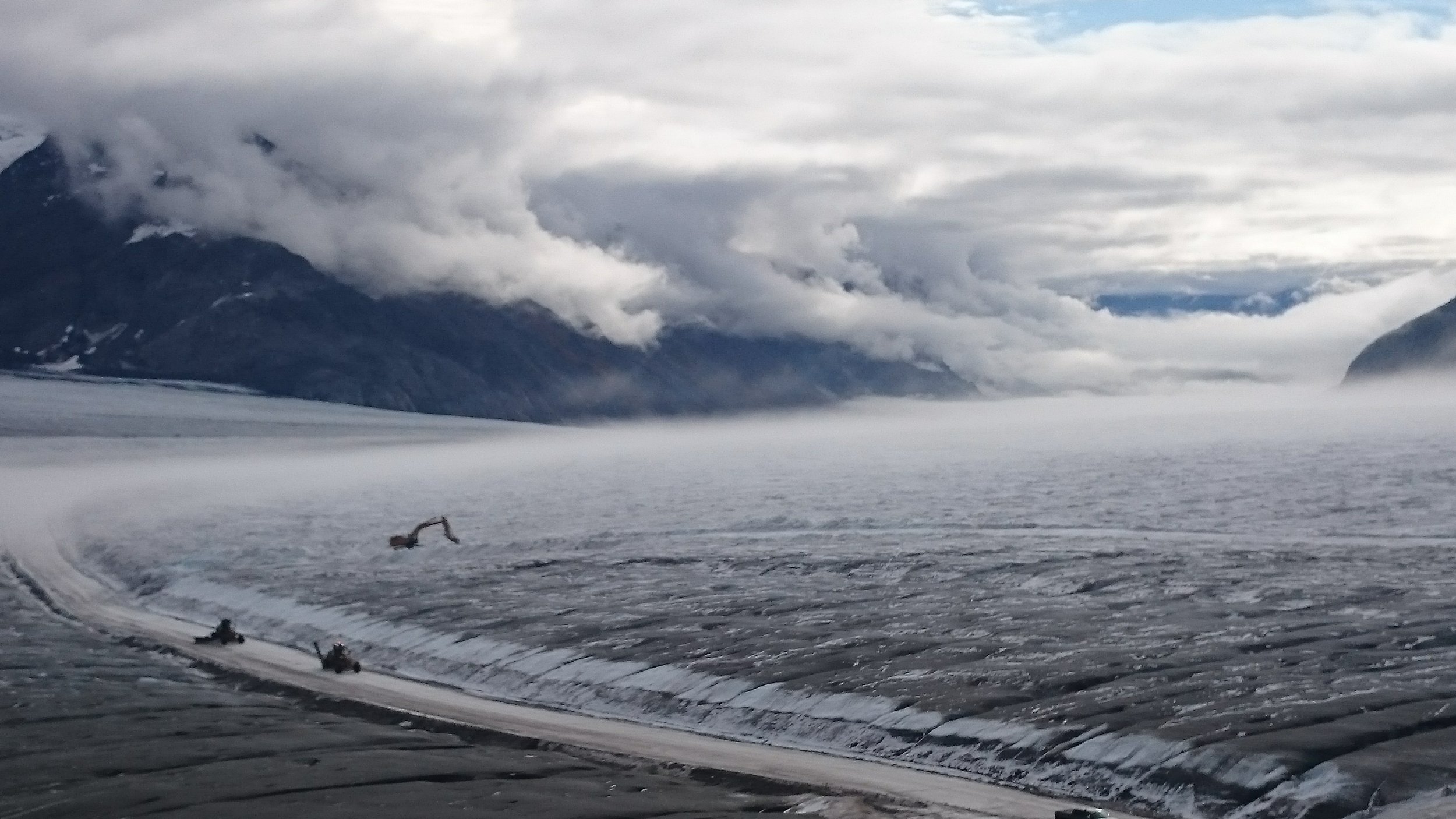
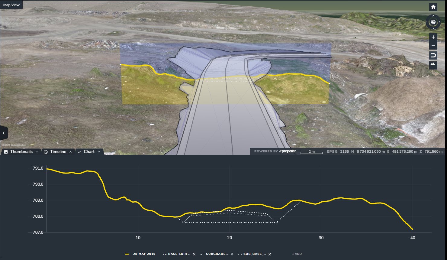
Drone Mapping
AutoCad Civil 3D
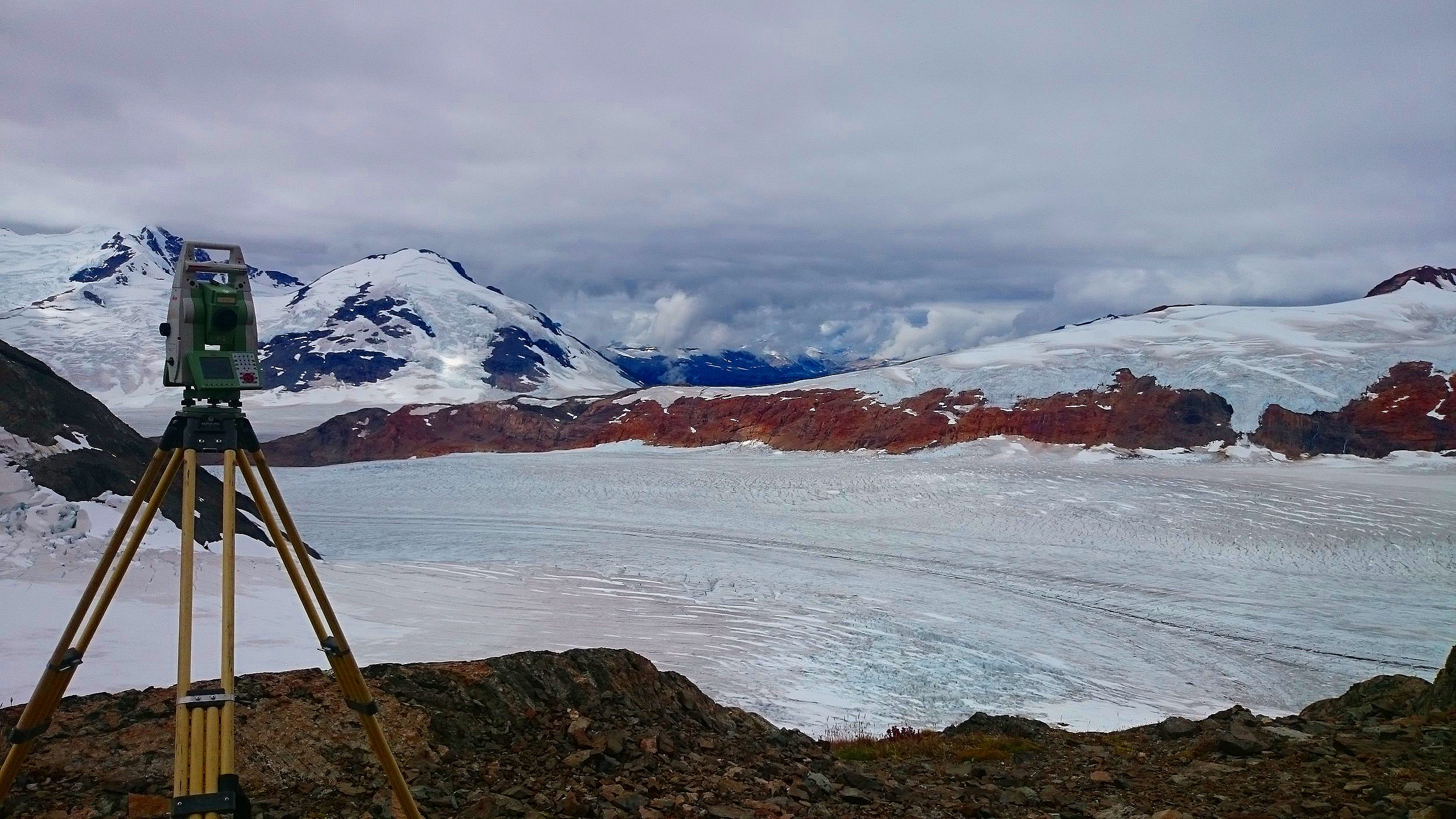
1” Leica MS60 Multi-Station
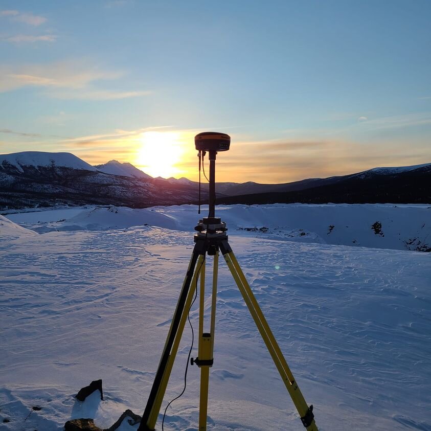
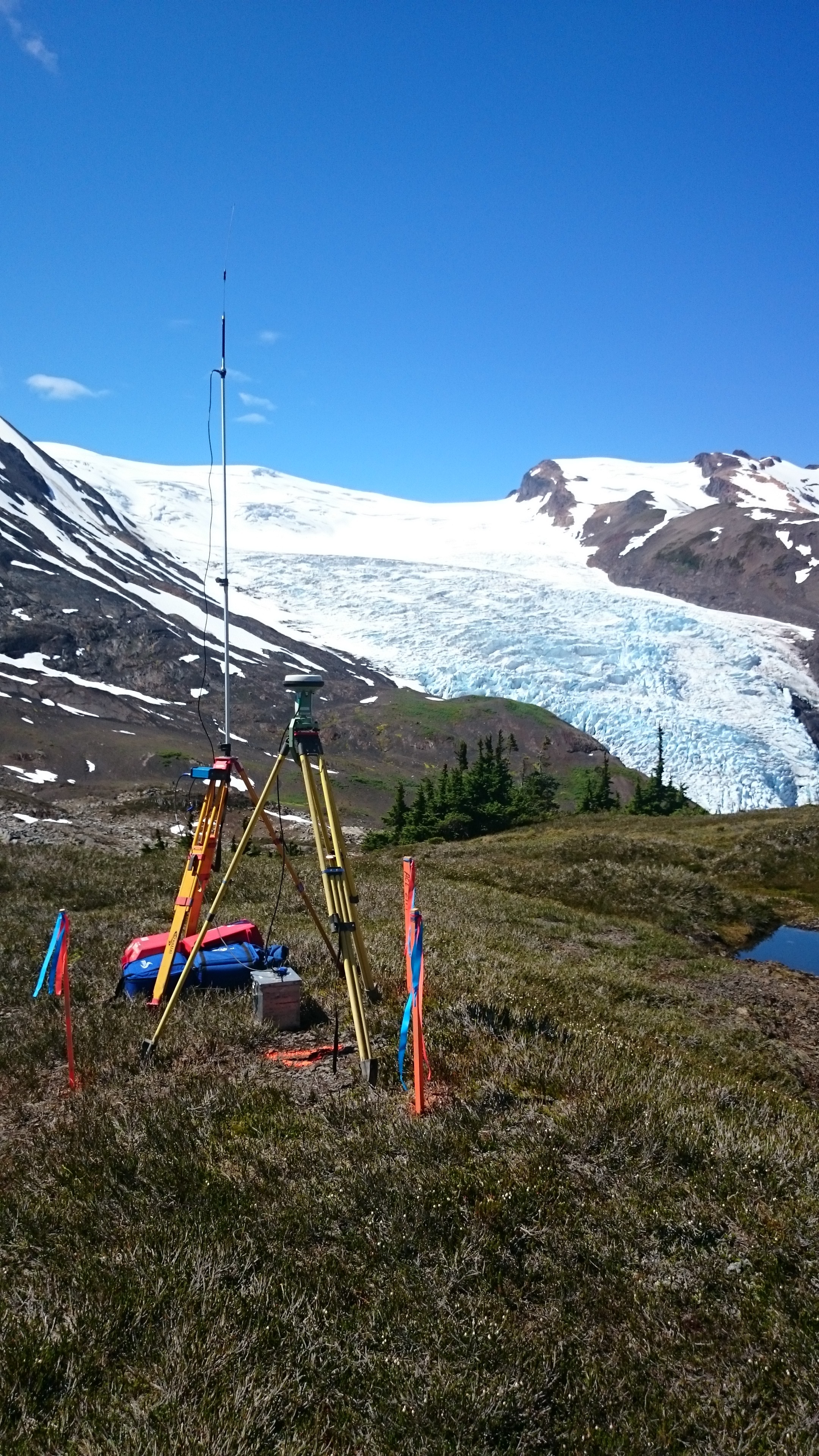
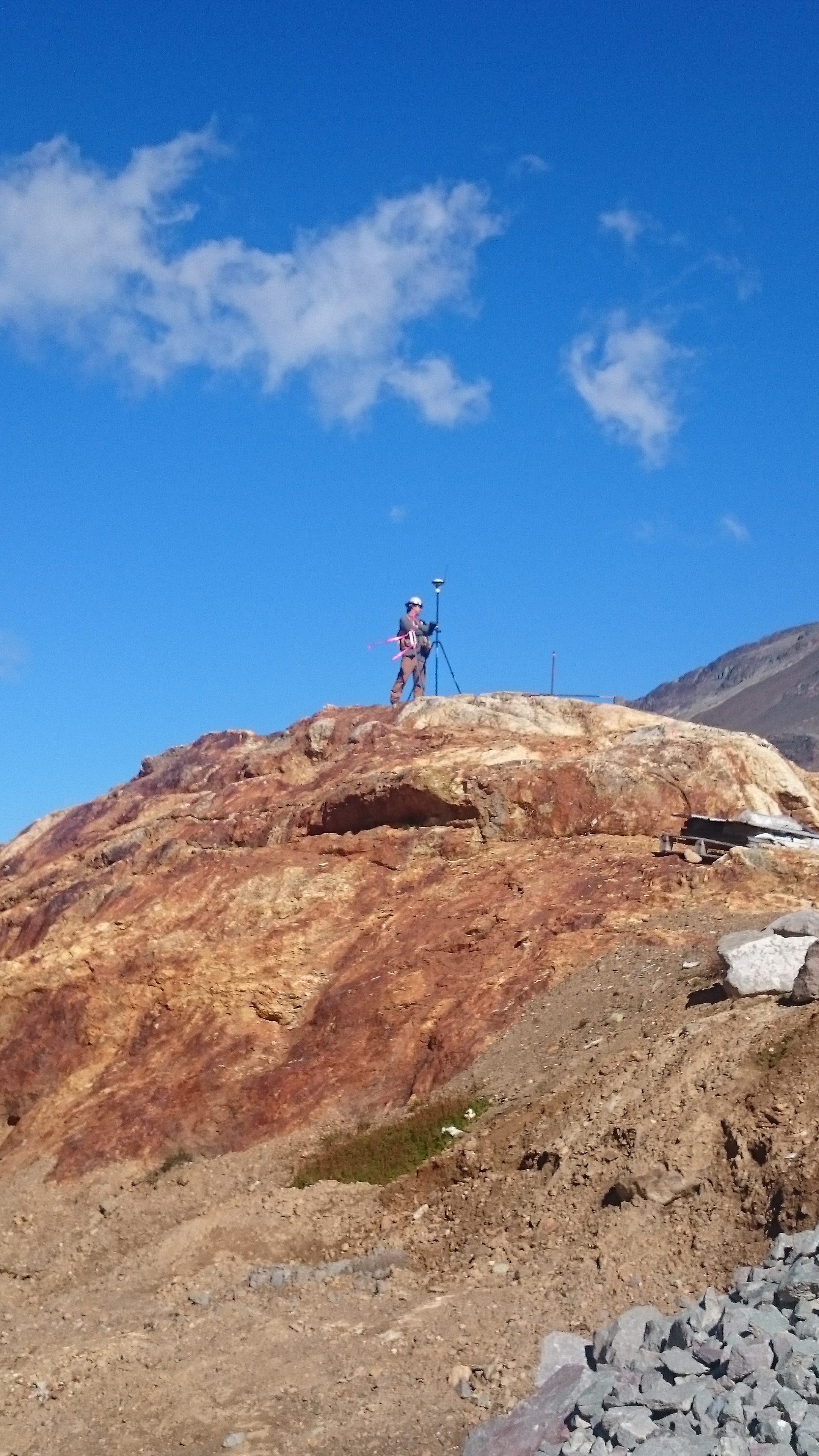
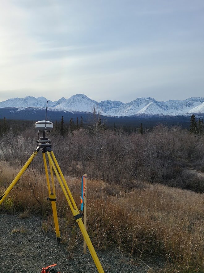
High Precison GNSS
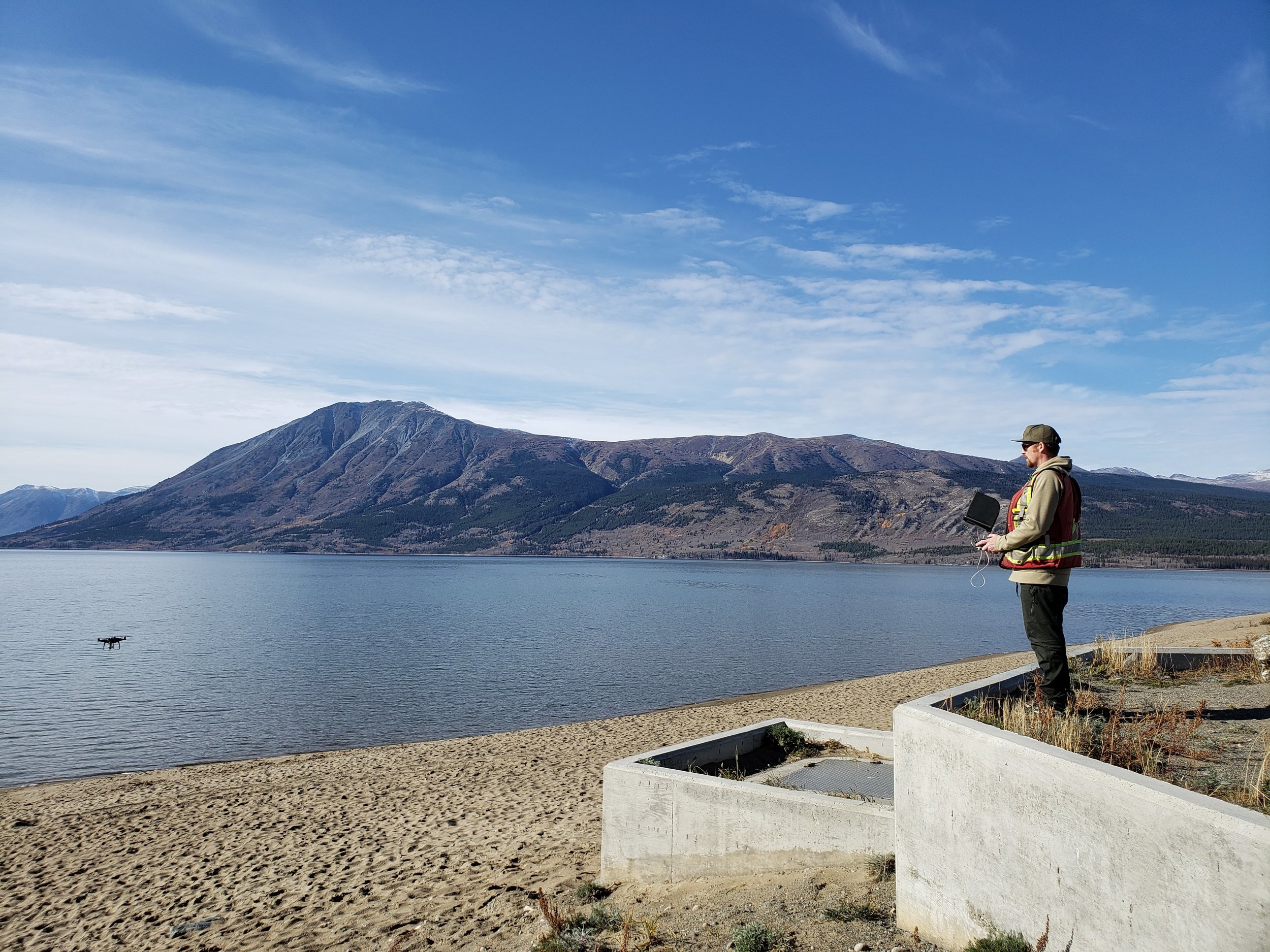
UAV/DRONE SERVICES
Utilizing DRONE IMAGERY FOR Mapping and Site Assessment
With up to date Drone Platforms and Photogrammetry Software, BPS has the ability to acquire accurate surfaces, process large scale volumes and provide visual context through aerial imagery to construction sites in a fraction of the time of traditional survey methods.
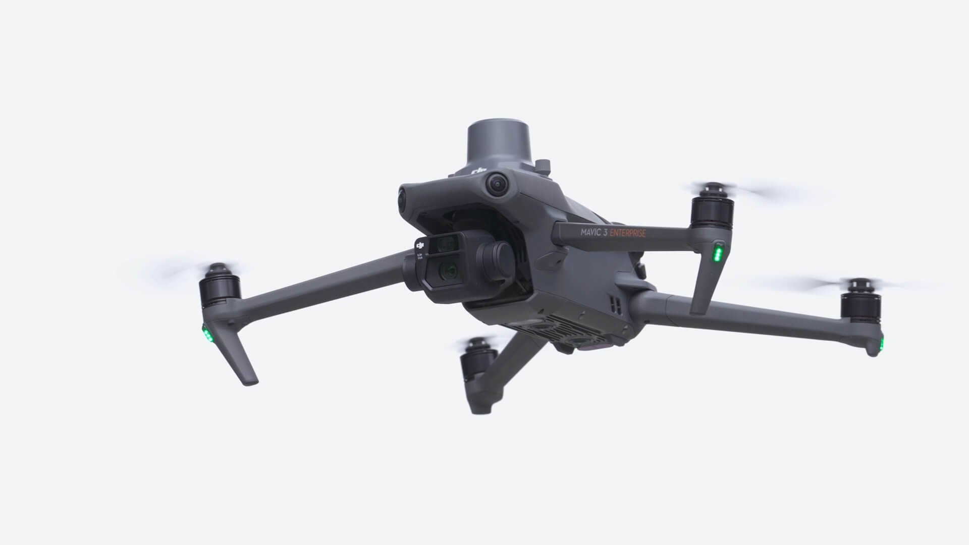
BPS carries 2x DJI Phantom 4 RTK and 1x Mavic 3 Enterprise drones for survey grade surveys.
Phantom 4 RTK Copy/Paste to Browser https://youtu.be/tAuF5aZi1ic
Mavic 3 Enterprise Copy/Paste to Browser https://youtu.be/R1lT-NatLMA
BPS utilizes Aeropoints GPS targets that reduce ground control point installation, improving accuracy and cutting client cost by speeding up deliverables. Copy/Paste to Browser https://youtu.be/P16ofoV8g8k
UAV Mapping techniques implement a SAFER work environment where heavy equipment and potentially dangerous terrain may pose a risk to personnel.
BPS is Transport Canada Certified under the new regulations with five years of UAV flight experience. and 23years in the Geomatics industry.
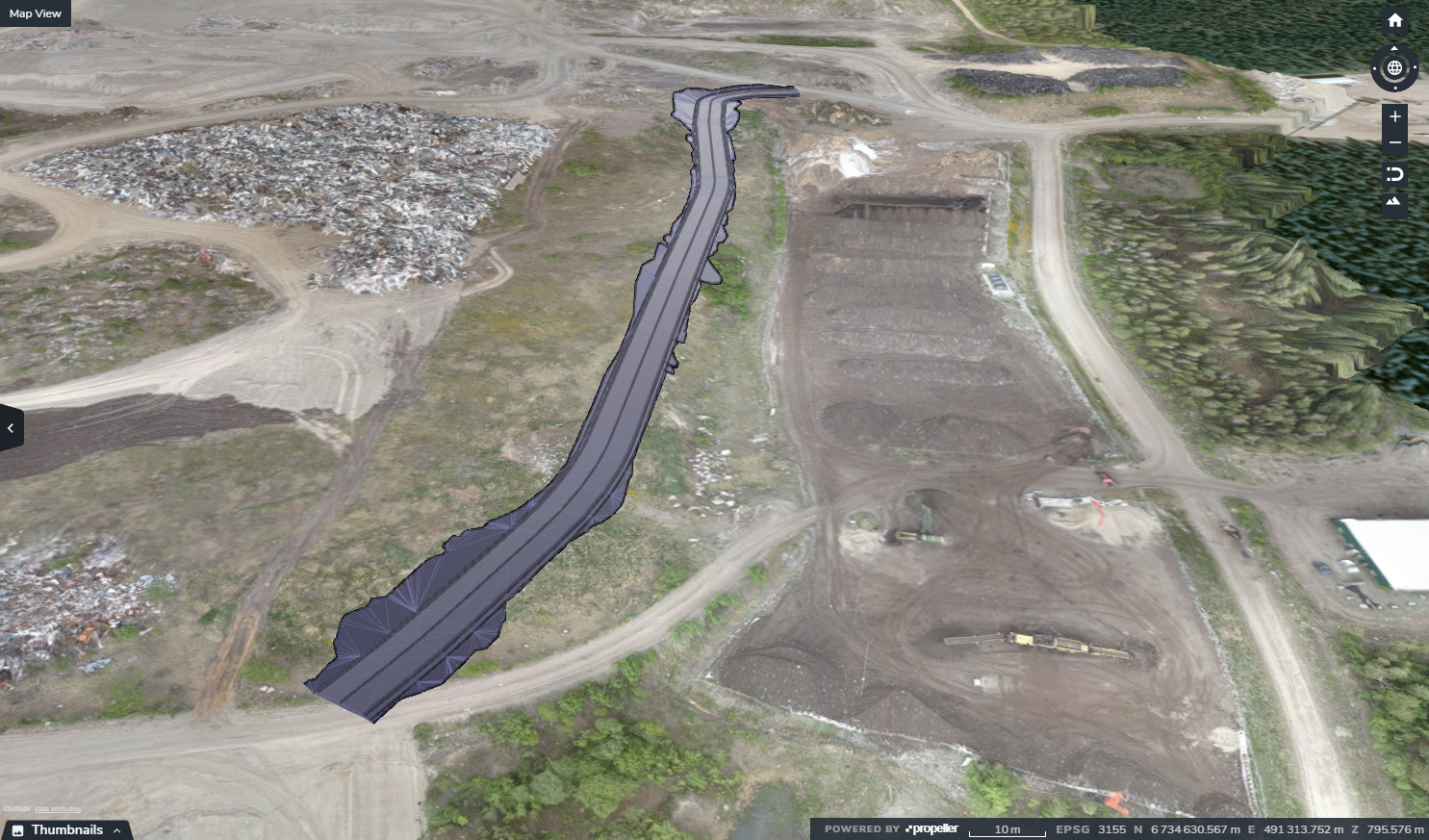
Orthophotos
Topographic Maps
Earthworks Progress
Landfill Management
Stockpile/Pit Management
Development and Planning
Provide Visual Context to Sites
Progress Videos

3D SITE ANIMATIONS
BPS can provide stunning 3D animations for visual context to enable the client to be onsite without leaving their desk!
DELIVERABLES
BPS can provide spatial data in industry standard formats for use across multiple platforms. Capability to show historical data over time and provide clean, clear and concise reports using graphics which enhances the clarity of deliverables.
AERIAL PHOTOGRAPHY AND INSPECTION
BPS can provide your business with visually engaging photos and video. By utilizing incredible photo and video software, together we can accurately track project progress and provide context to shareholders.

John Christian Baxendale, AScT.
Owner/Operator/Surveyor/sRPAS Pilot
PROUD YUKON RESIDENT
BCIT GEOMATICS DIPLOMA 2009
ASTTBC PROFESSIONAL DESIGNATION
SMALL REMOTELY PILOTED AIRCRAFT (sRPAS) ADVANCED PILOT’S CERTIFICATE
RADIO OPERATORS CERTIFICATE
6 YEARS OF sRPAS FLIGHT EXPERIENCE
TRANSPORT CANADA CERTIFIED
FIRST AID LEVEL 1 TRAINING
SECOR TRAINING IN PROGRESS
FULLY INSURED
Contact Us
We look forward to connecting with you to discuss your project needs!
Whitehorse office:
62 Grizzly Circle
Whitehorse, Yukon, Y1A 6J3
PROJECTS
WMF South Development Project - City of Whitehorse, Waste Management
Aerial Stockpile Surveys, McLean Lake Pit, Castle Rock Pit, South Klondike Highway- Nuway Crushing Ltd, Whitehorse, YT
FSR Bridge Alignment, Allnorth Consultants Ltd, Prince George, B.C
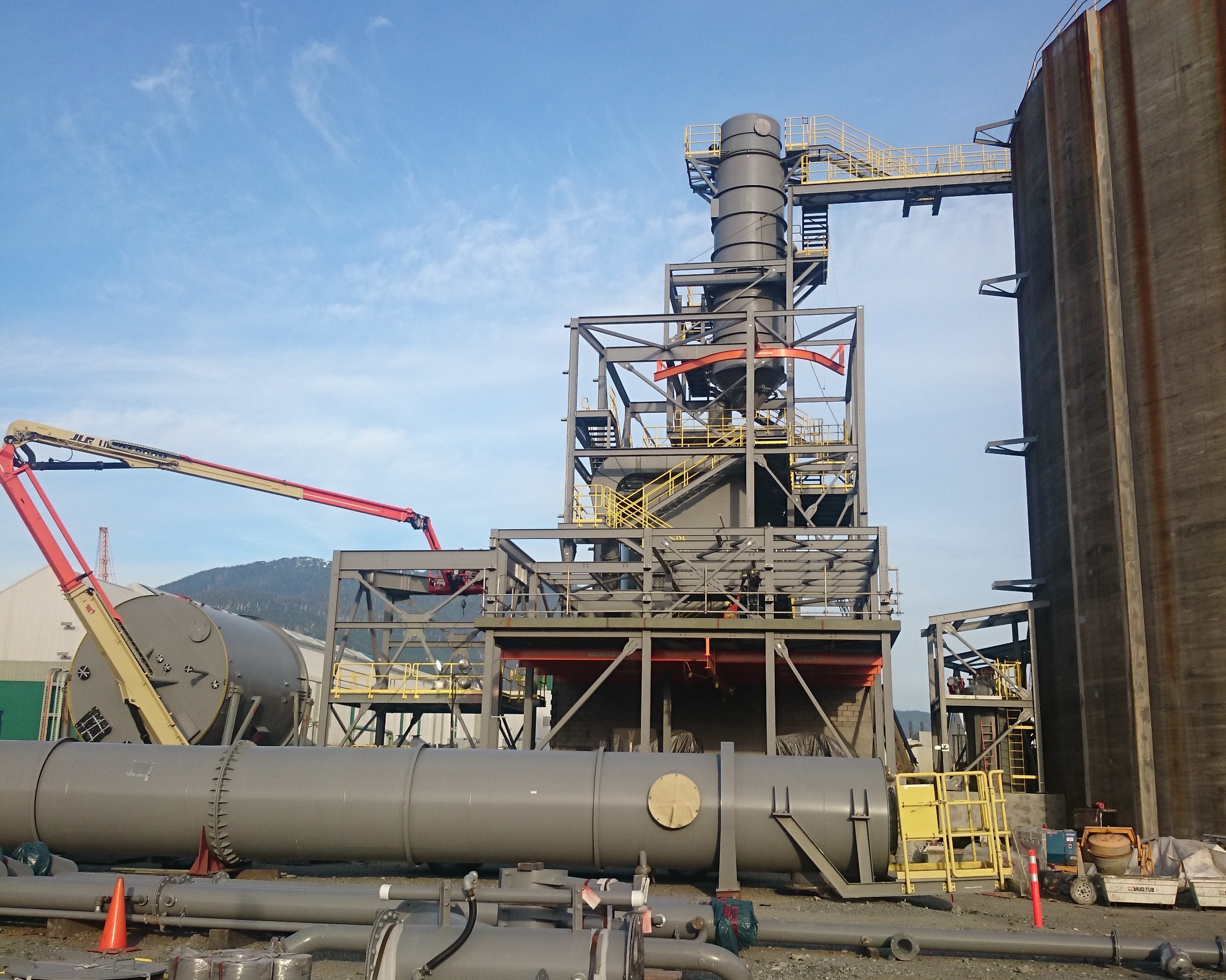
Water Treatment Facility, Allnorth Consultants Ltd, Kemess Mine, Northern BC
Mt. Sima Ski Hill, Promotional Videos, 2019-2021
Aerial Photography for Local Development Projects, Chu Niikwan LP, Whitehorse, YT
Aerial Photopgraphy, Remax Realty, Whitehorse, YT
Tagish Rd at South Klondike Highway, Transportation Engineering Branch, YTG, Re-Surfacing and Grading, Carcross, YT June 2020
Cousins and Burwash Airstrip Re-Grading, Yukon Equipment Services, YT
Dick Creek and Haines Junction Multi-Plate Installation, Yukon Equipment Services, YT
Aerial Stockpile Surveys, Skookum Asphalt, Year end Inventory, Whitehorse, YT
Aerial Snow Dump Surveys, City of Whitehorse - Engineering, Whitehorse, Y.T.
Detailed Topographic Survey of Lewes Blvd and Hospital Rd, City of Whitehorse - Traffic Management, Whitehorse, YT.
Faro Mine PKG21, Allnorth Consultants Ltd, QA reporting on Pumphouse and pipeline, December 2020, Faro Y.T.
Faro Mine, PKG23 - Bulk Mass Haul, Parsons, Inc, QA Survey Contract, Haul Rd, Overflow Weir Spillway and Remediation Test Construction, 2021, Faro, YT
Faro Mine, PKG24F - DV-SIS Pipeline, Parsons Inc. - QA Survey, 2021-2022, Faro Y.T.
Faro Mine, PKG27 - Grum Ore Transfer Pad, Parsons Inc. - QA Survey, 2021, Faro, Y.T.
Faro Mine, PKG30B - RCDC Slope Stabilization - Parsons Inc. QA Survey 2022 Faro, Y.T.
Transit Stop Survey, City of Whitehorse - Transit, 2022, Whitehorse, Y.T
5mile Hockey Rink Topography and Site Plan, TRTFN, 2022 , Atlin, B.C.
Lonetree Subdivision - QC Road Survey, Yukon Equipment Services Ltd., Teslin Y.T. 2021-2022.
Lonetree Subdivision - QA Road Survey, YTG Community Services., Teslin Y.T. 2021-2022.
012C22 - LCRP Geotechnical Trials - Parsons Inc QA Survey, 2022, Faro, YT
Skookum Asphalt Year End Quantities, Ear Lake/McLean Lake/South Klondike Pits, UAV Surveys, Sept-October 2022.
Faro Remediation Project - QA Survey, Aggregate Production/Term 1 Camp Construction/Permanent Water Treatment Plant Early Works/RCDC Overflow Structure, March -November 2023
Yukon Government - Annual Stockpile Surveys - UAV Survey and deliverables, July-November 2023.
LINKS
KNOW BEFORE YOU FLY!
Ensure your sPRAS Pilot is Certified.
Transport Canada Regulations as of June 1st, 2019
https://www.tc.gc.ca/en/services/aviation/drone-safety/flying-drone-safely-legally.html
Facebook: Baxendale Project Services or @JCBaxendale
VIDEO:
https://vimeo.com/344630161